


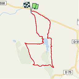


18 km | 26 km-effort

Benutzer GUIDE


Kostenlosegpshiking-Anwendung
 SityTrail
IGN / Geografische Institute
SityTrail World
Die Welt öffnet sich für Sie
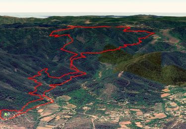
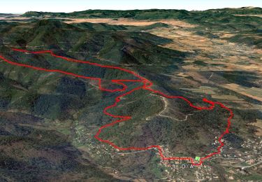
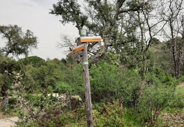
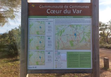
Tour Wandern von 8,3 km verfügbar auf Provence-Alpes-Côte d'Azur, Var, Le Cannet-des-Maures. Diese Tour wird von pascalou73 vorgeschlagen.
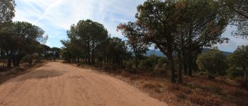
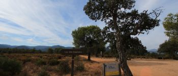
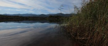
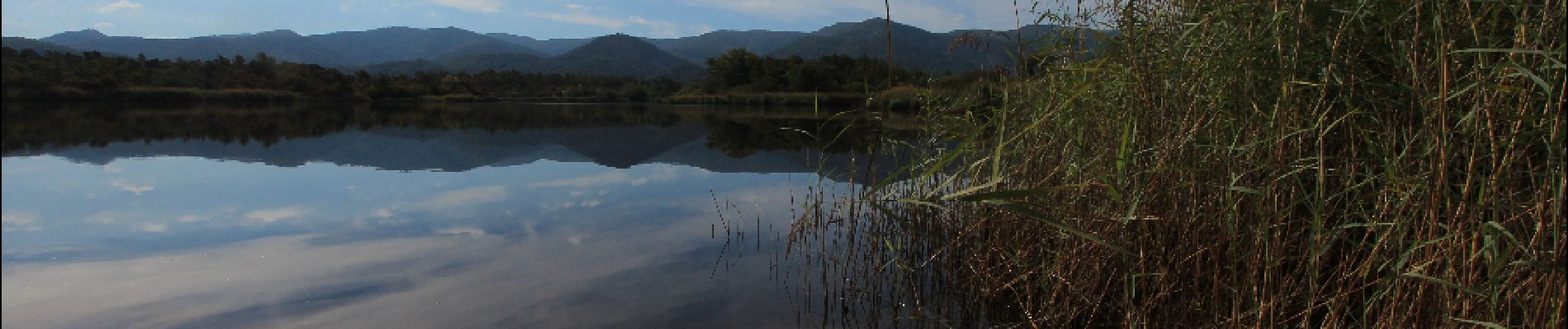
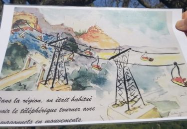
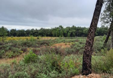
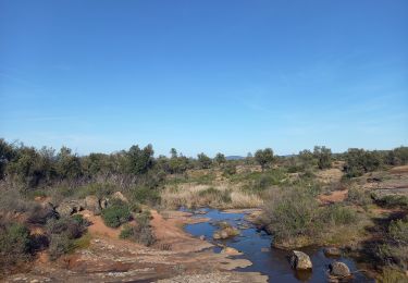
Voilà une belle randonnée dans la plane des Maures dans la belle région du var .Avec comme décore sur cette randonnée des forêts de pins avec une vue sur un très beau lac .bonne rando


Wandern
Wandern

Wandern
Wandern
Wandern
Wandern
Wandern
Wandern
Wandern